•
Very high resolution canopy height maps at jurisdictional scale are released.
•
Improved performance from vision transformers based on Self-Supervised Learning (SSL).
•
First use of SSL and vision transformers for canopy height estimation.
•
Low resolution GEDI and high resolution aerial lidar predictions are combined.
•
Model generalizes well to aerial imagery, even though trained with satellite images.
Using Artificial Intelligence to Map the Earth’s Forests.https://sustainability.fb.com/blog/2024/04/22/using-artificial-intelligence-to-map-the-earths-forests/
作者:JAMIE TOLAN, CAMILLE COUPRIE, JOHN BRANDT, JUSTINE SPORE, TOBIAS TIECKE, TRACY JOHNS, PATRICK NEASE
aws s3 cp --no-sign-request s3://dataforgood-fb-data/forests/v1/alsgedi_global_v6_float/tiles.geojson H:\tiles_001.geojson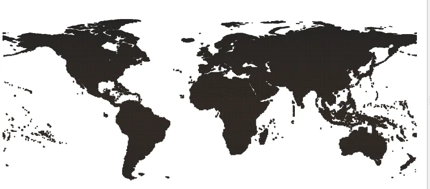
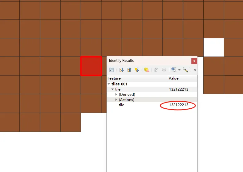
import subprocesslocal_download_path = r'D:\download'img_name = tile + '.tif'out_file = os.path.join(local_download_path,img_name)cmd_line = 'aws s3 cp --no-sign-request s3://dataforgood-fb-data/forests/v1/alsgedi_global_v6_float/chm/' + img_name + ' ' + out_file + ' --region us-east-1 --no-sign-request'subprocess.call(cmd_line)
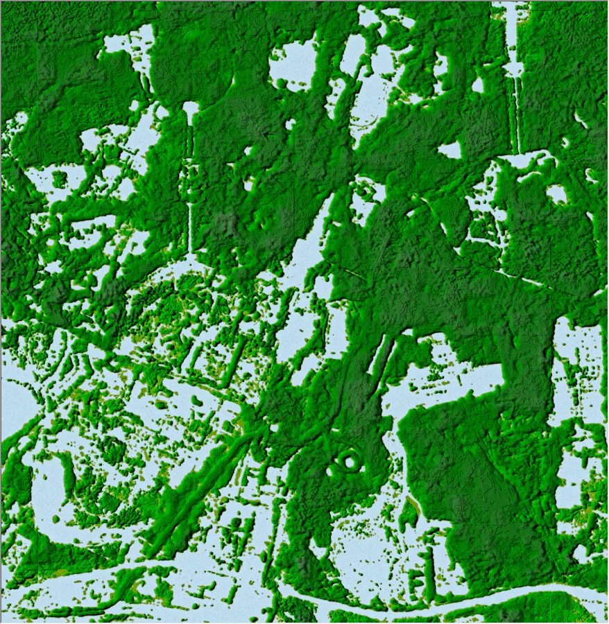
冠层高度数据可以采用DSM渲染的办法进行渲染,得到有立体效果的渲染图,方便进行可视化分析。
渲染代码:
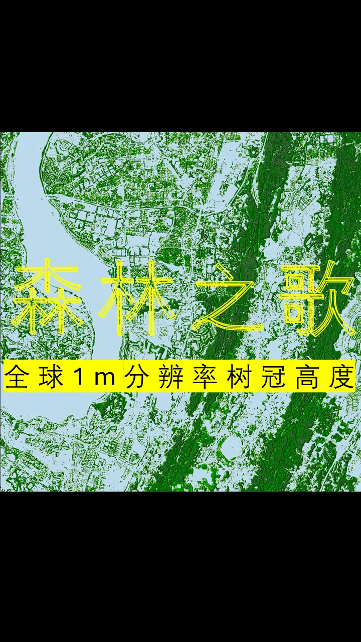
全分辨率(1m)全国省会城市部分区域冠层高度及渲染图下载链接:
链接:https://pan.baidu.com/s/1UwXoSzo7rwLWaL-MtPXZhQ?pwd=B636
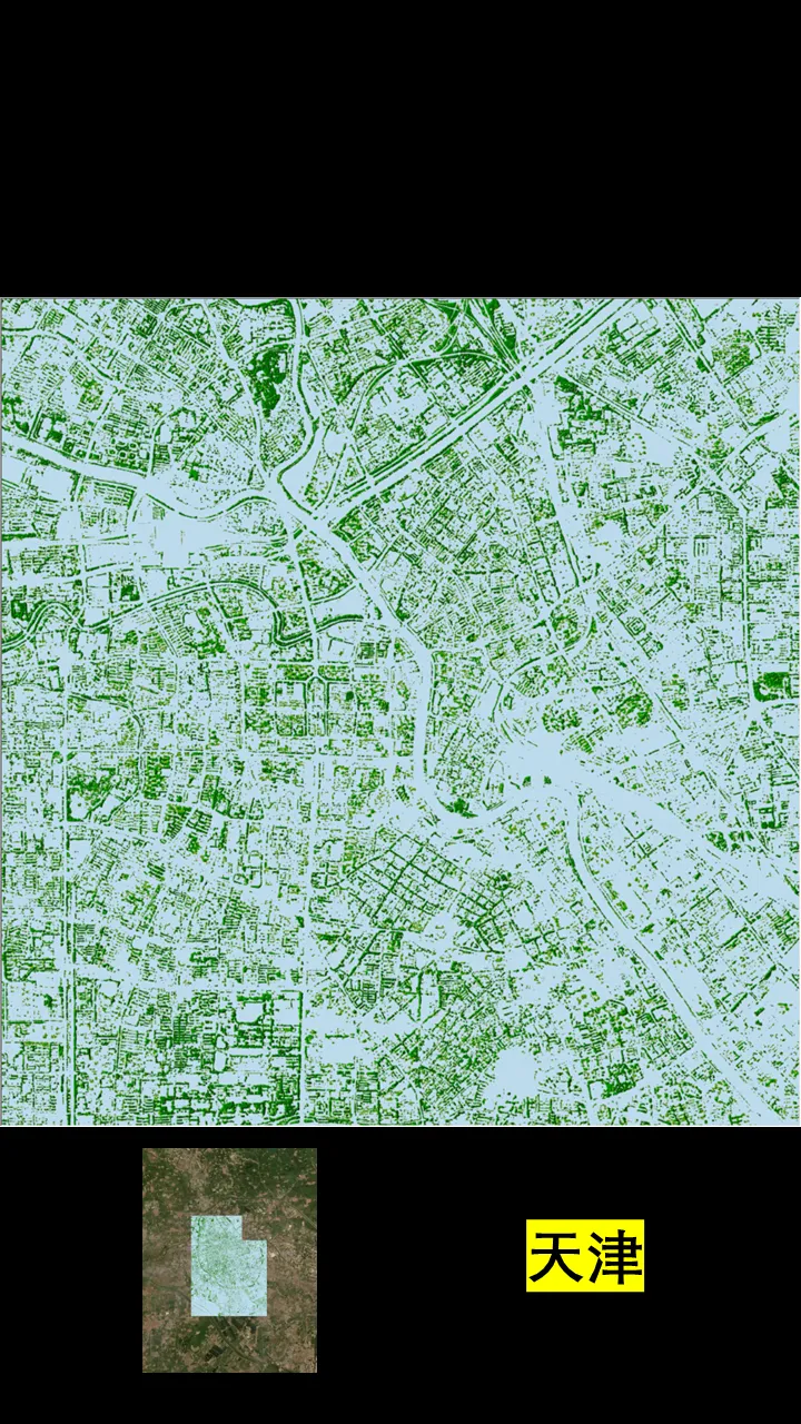
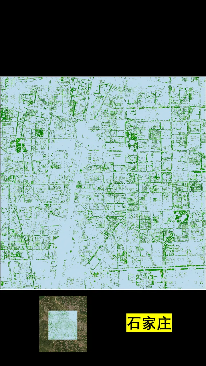
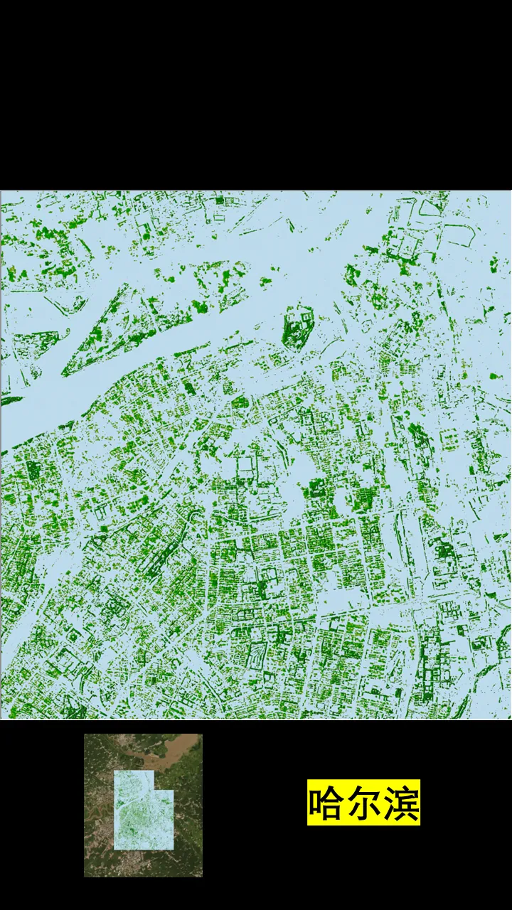
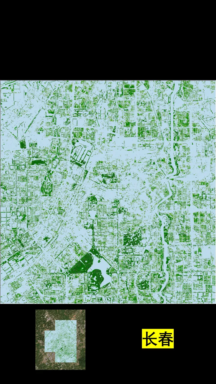
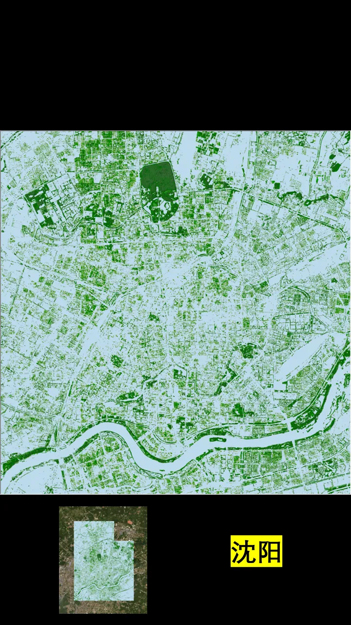
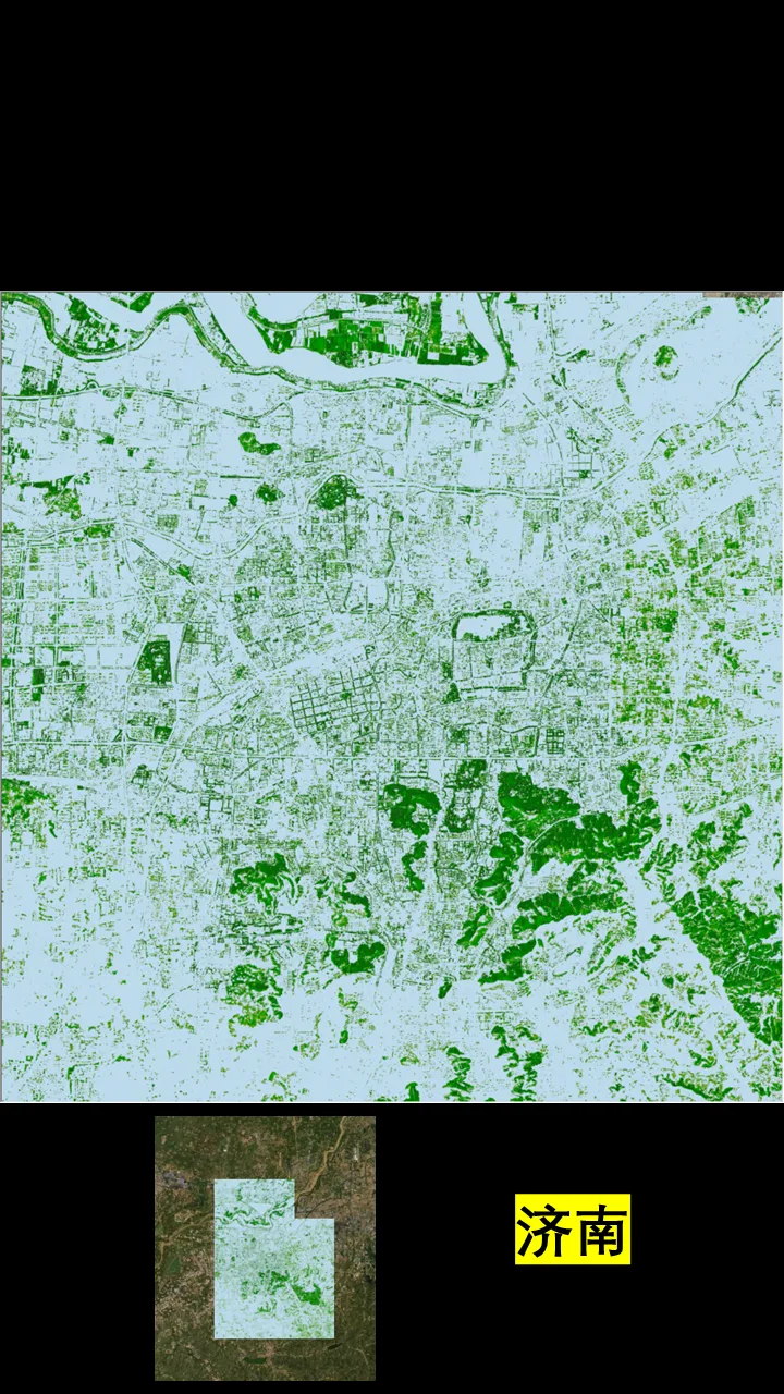
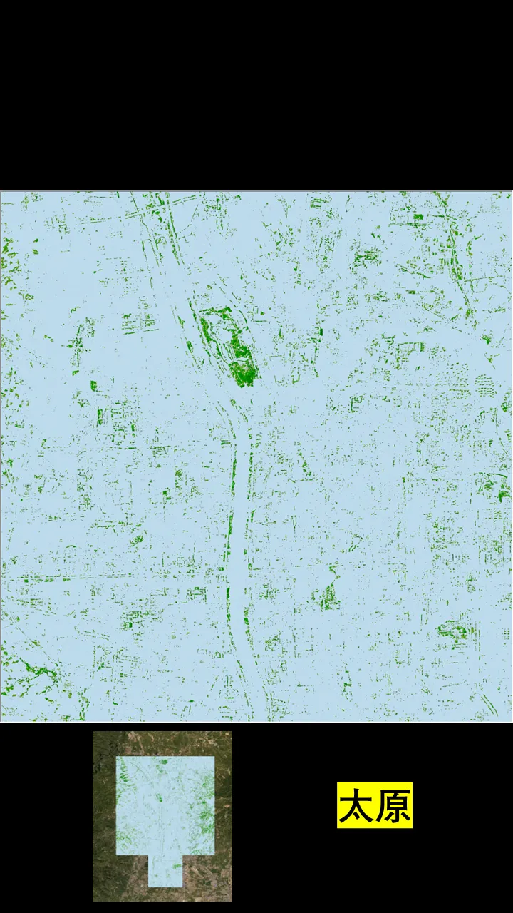
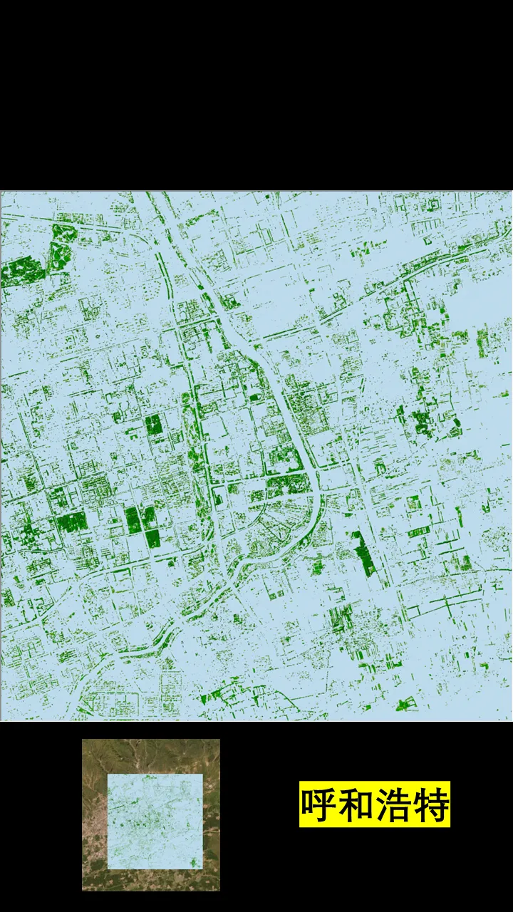
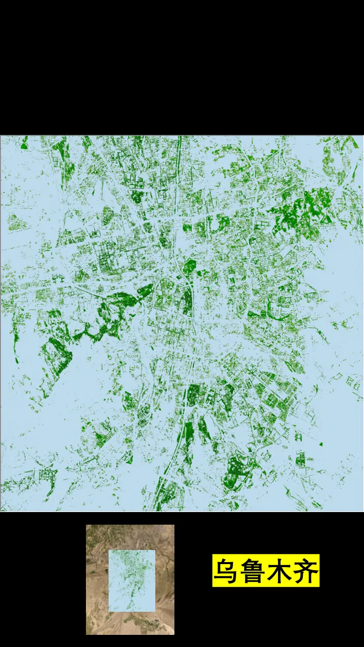
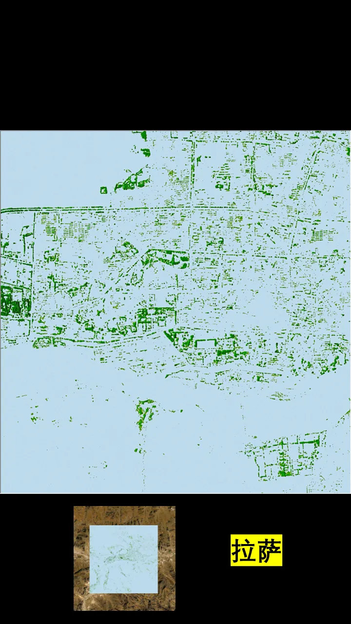
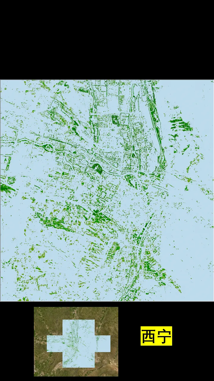
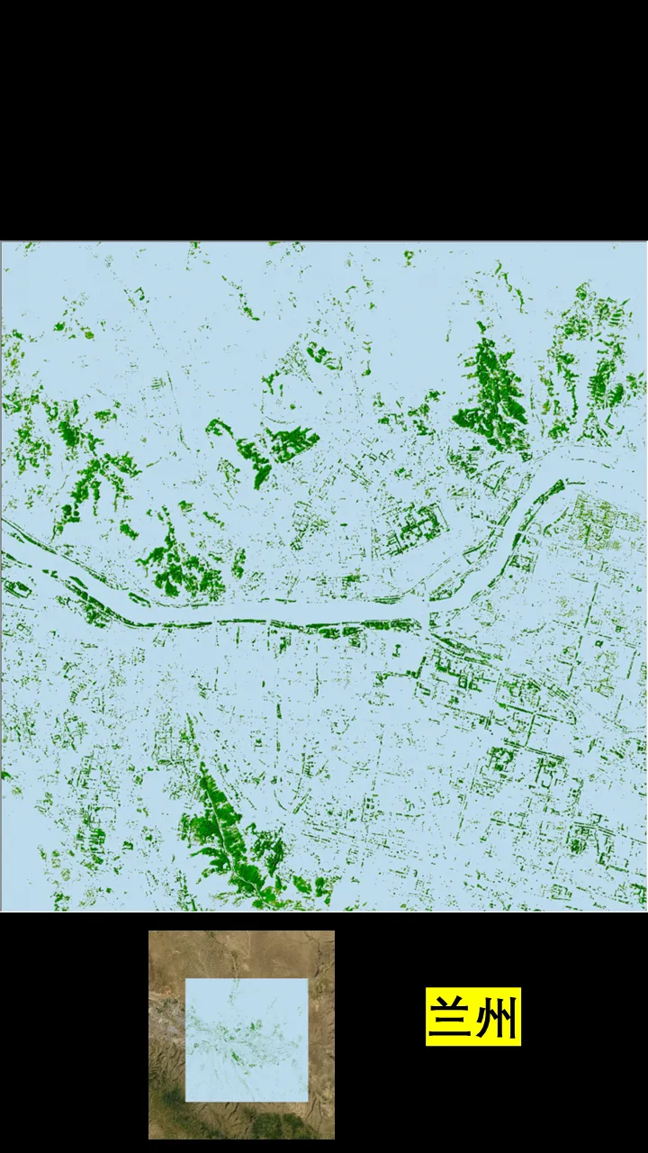
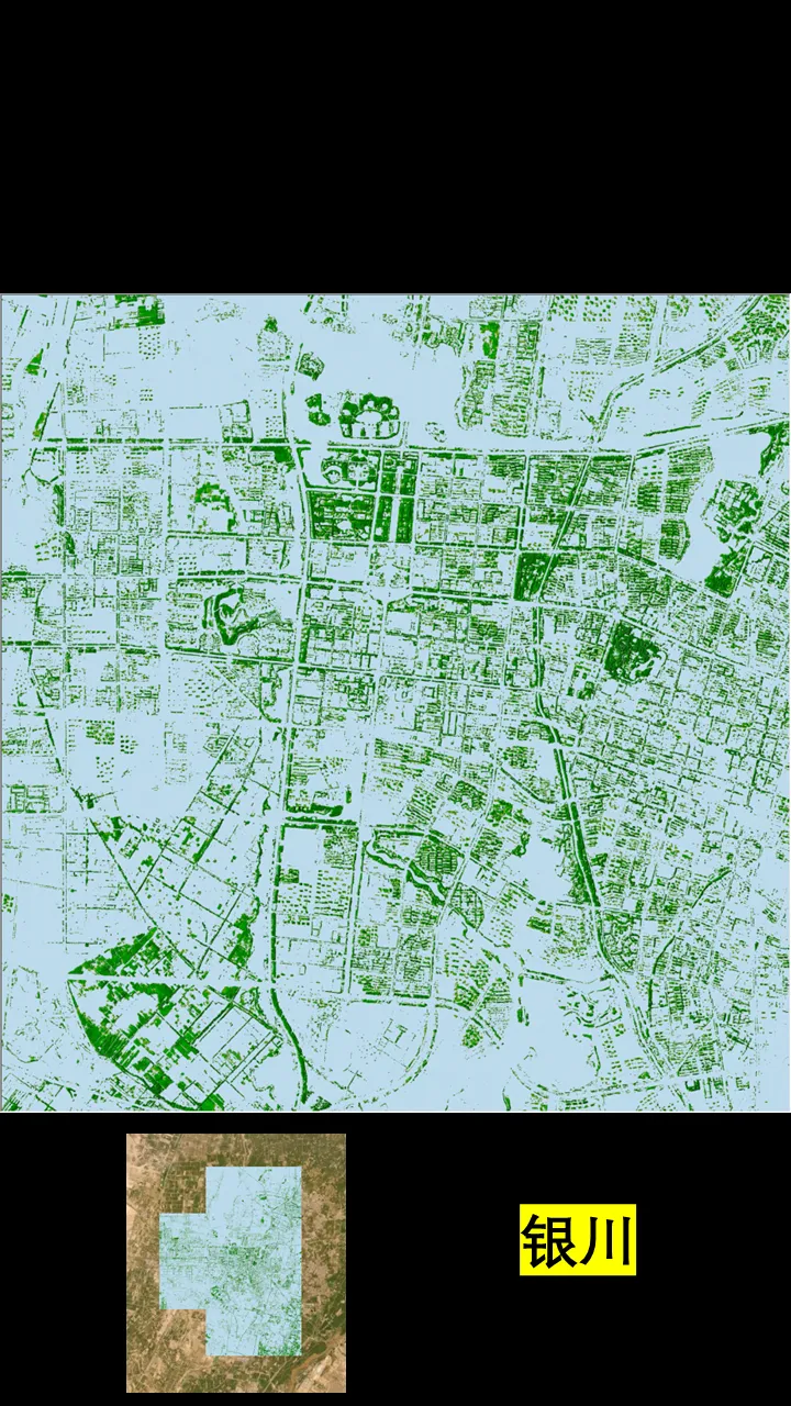
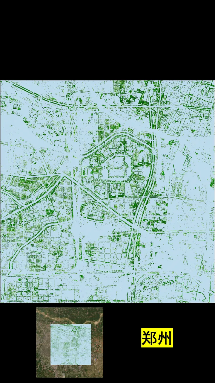
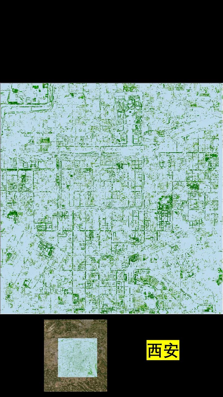
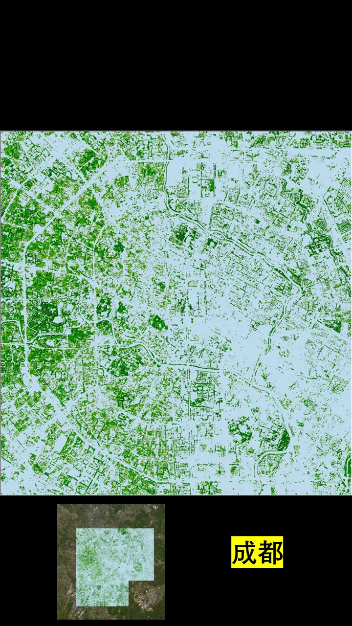
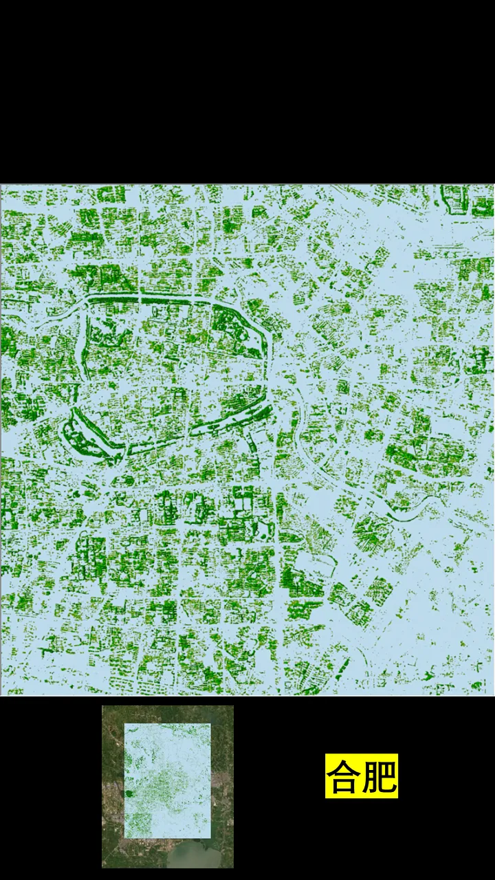
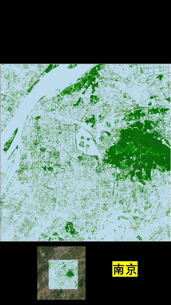
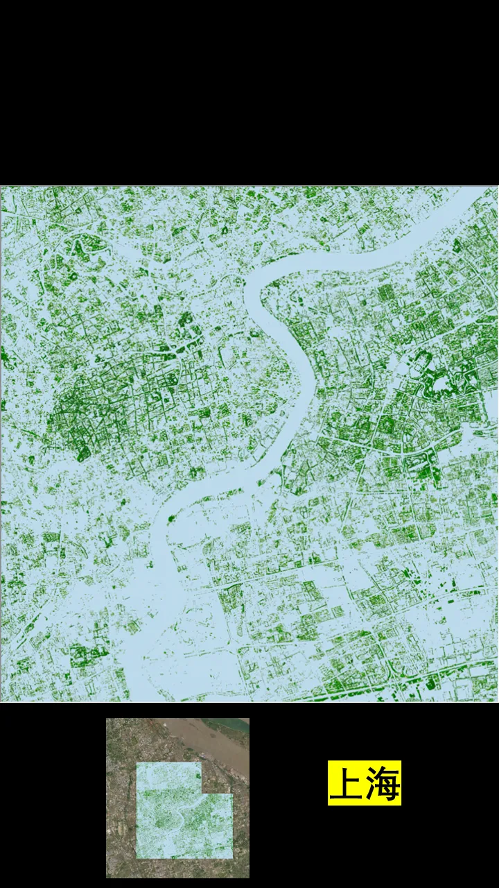
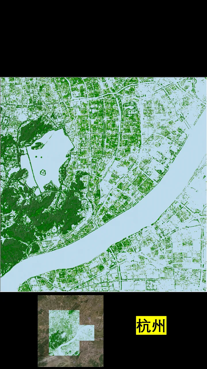
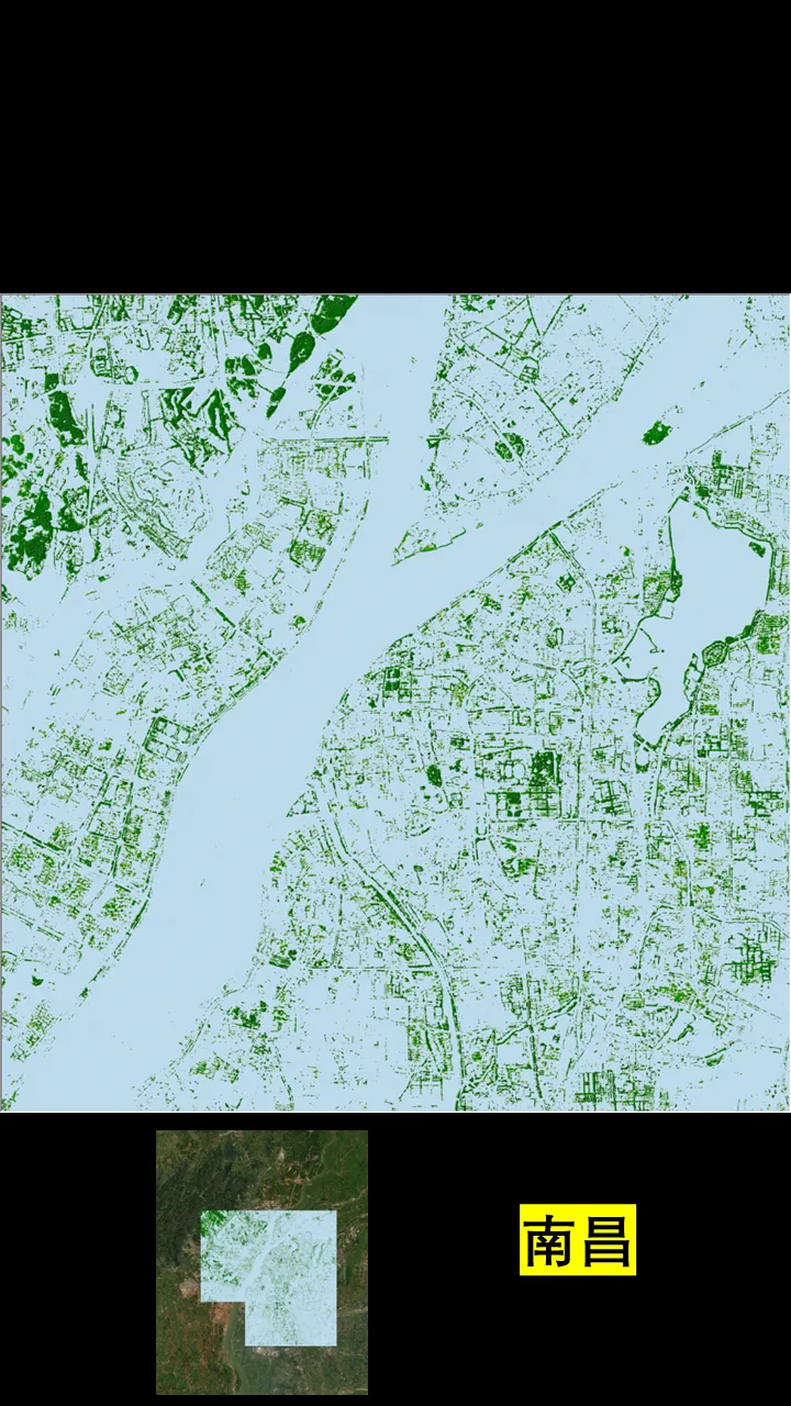
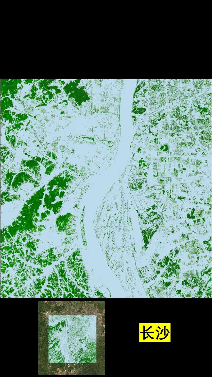
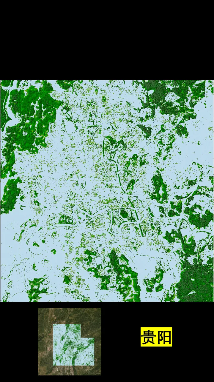
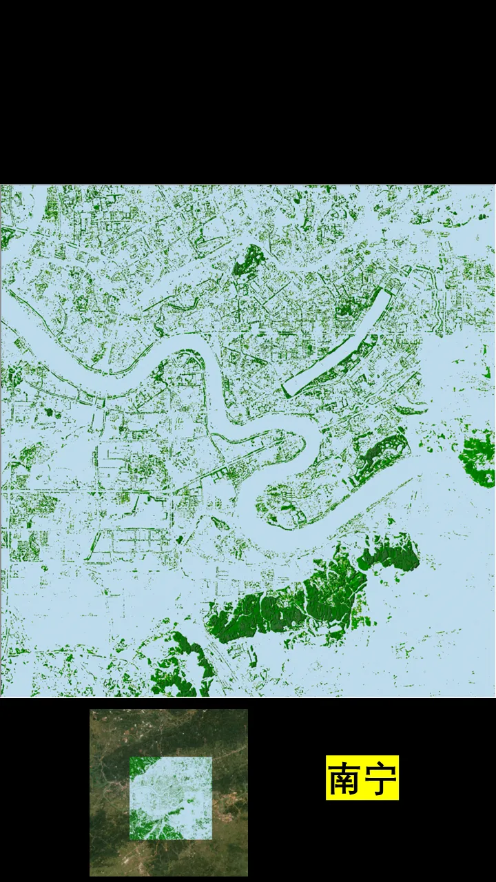
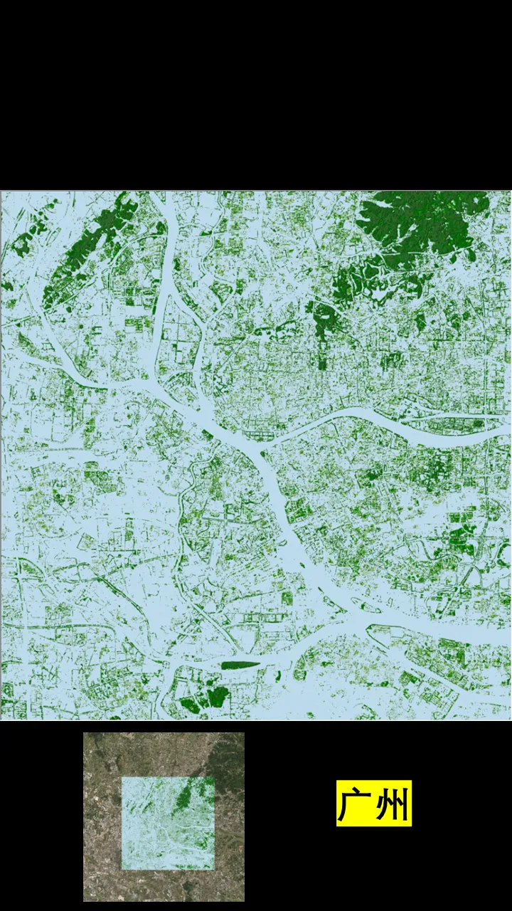
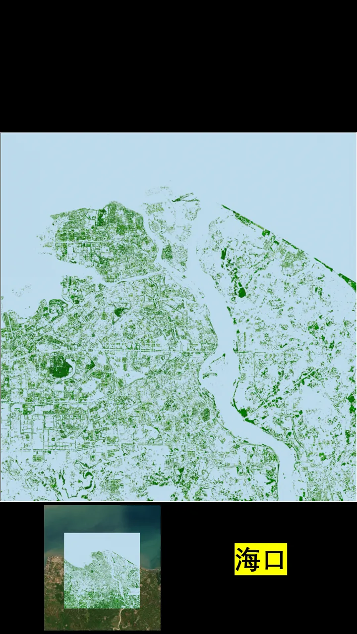
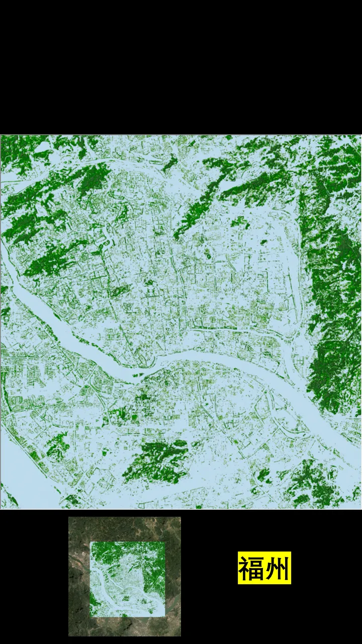
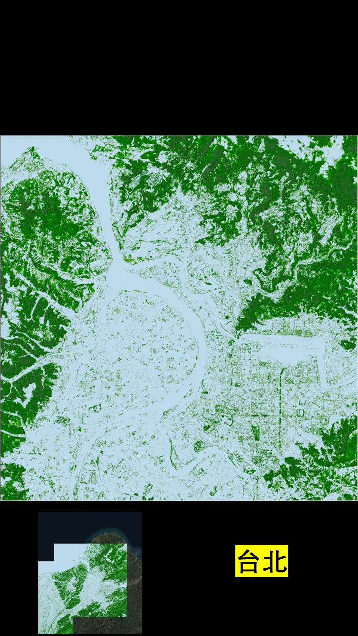
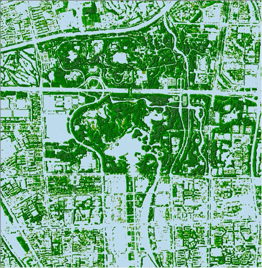
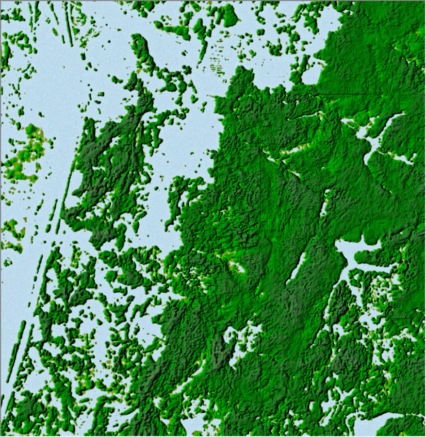
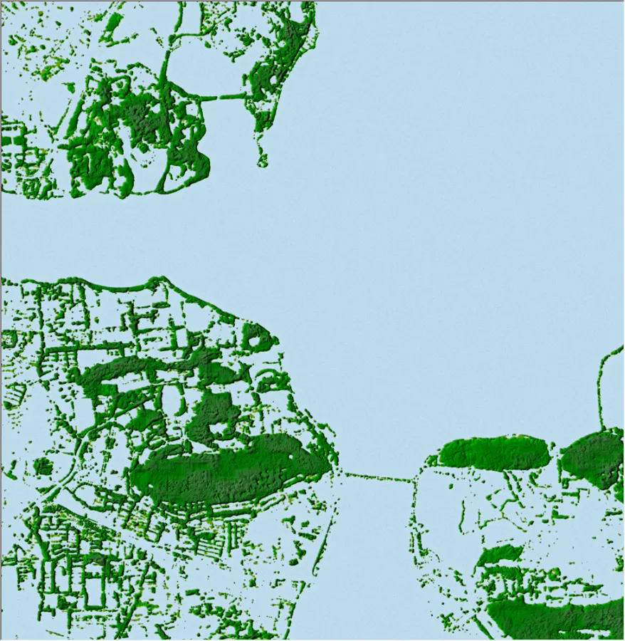
下面是全国省会城市冠层高度数据渲染图。
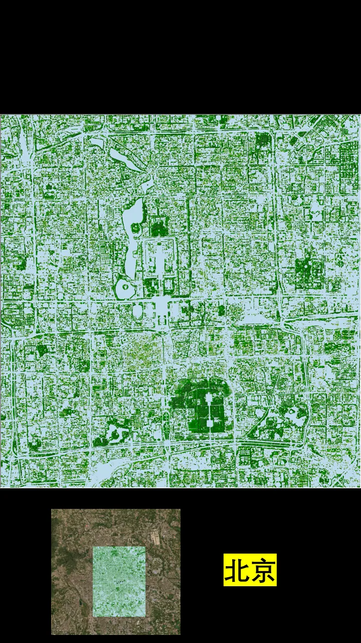
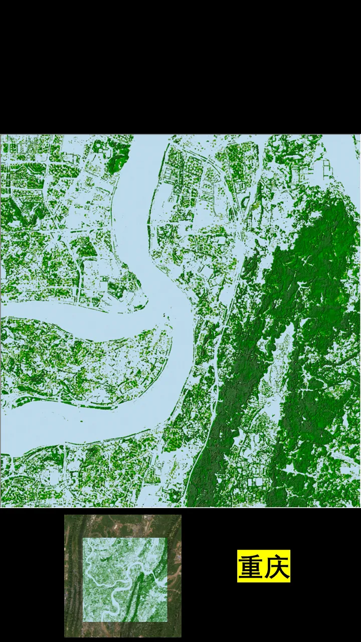
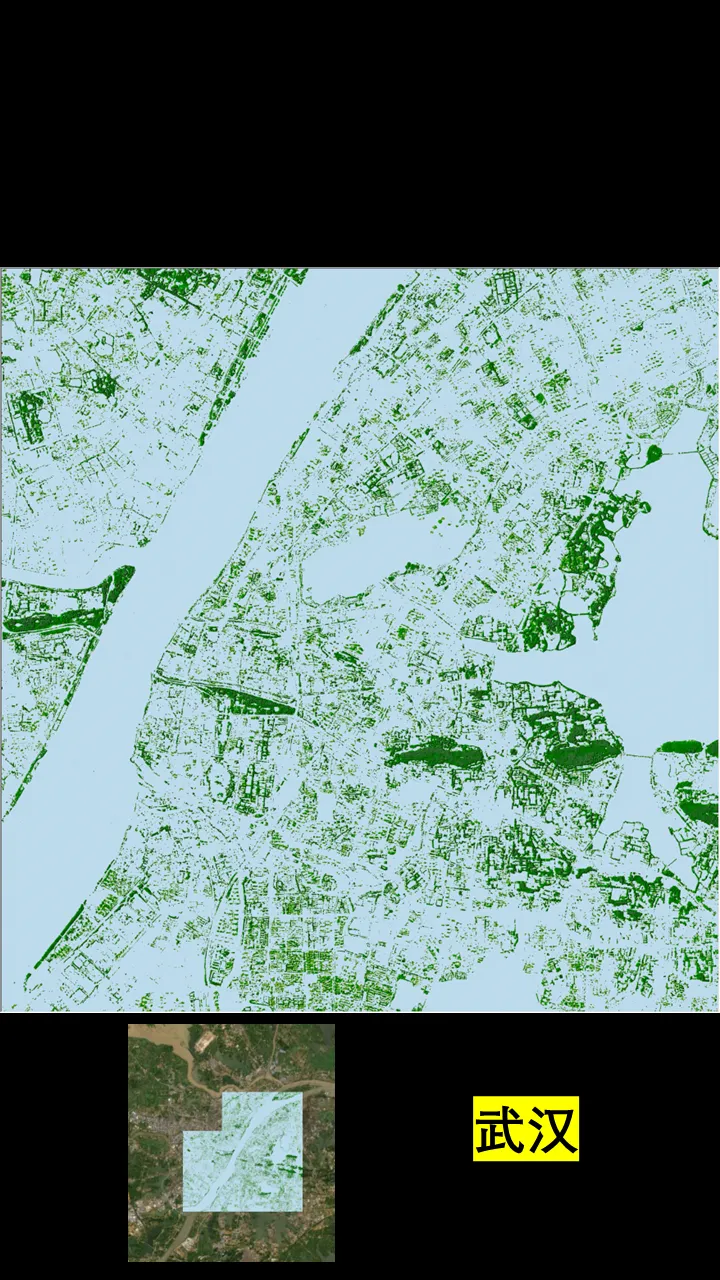
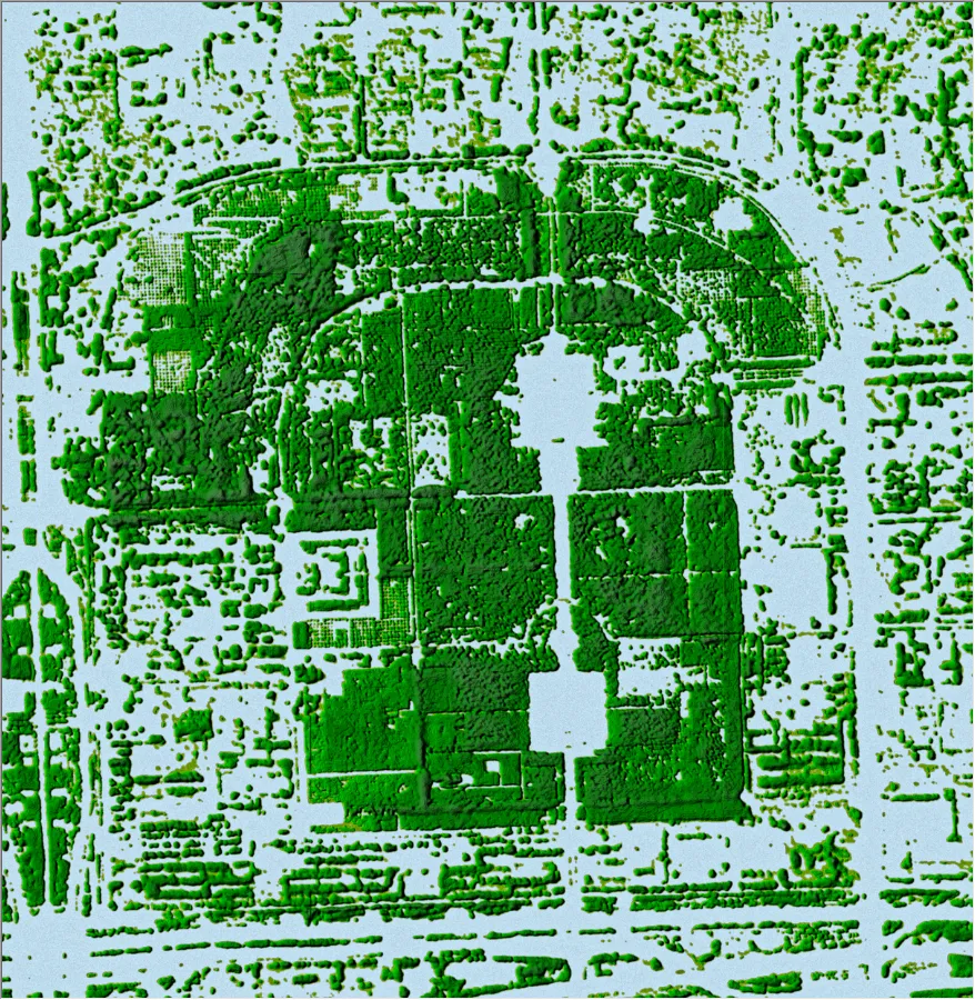
下面是一些局部精细效果。
北京天坛公园:
北京奥森公园:
重庆南山:
武汉东湖:
杭州西湖:

南京中山陵、明孝陵、美龄宫。